Expert Property Mapping for Developers
Land surveying is a critical process that involves measuring and mapping the boundaries, features, and contours of a parcel of land. Accurate surveys are essential for property development, legal documentation, and construction planning. The precision of land surveys ensures clarity in property lines and helps prevent disputes among landowners and developers.
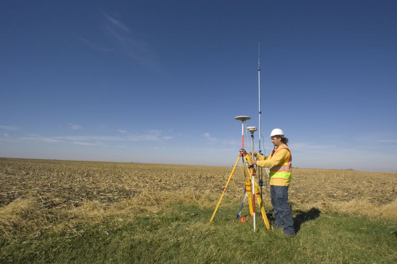
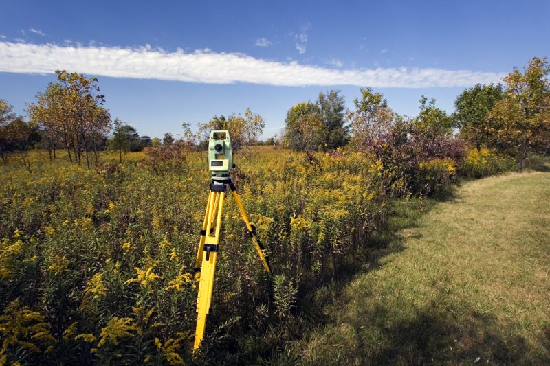
Advanced tools like total stations and GPS devices are used to gather precise measurements during land surveys.
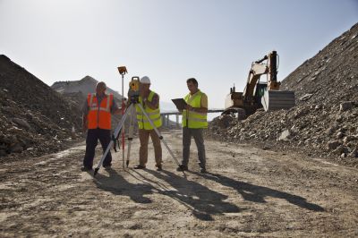
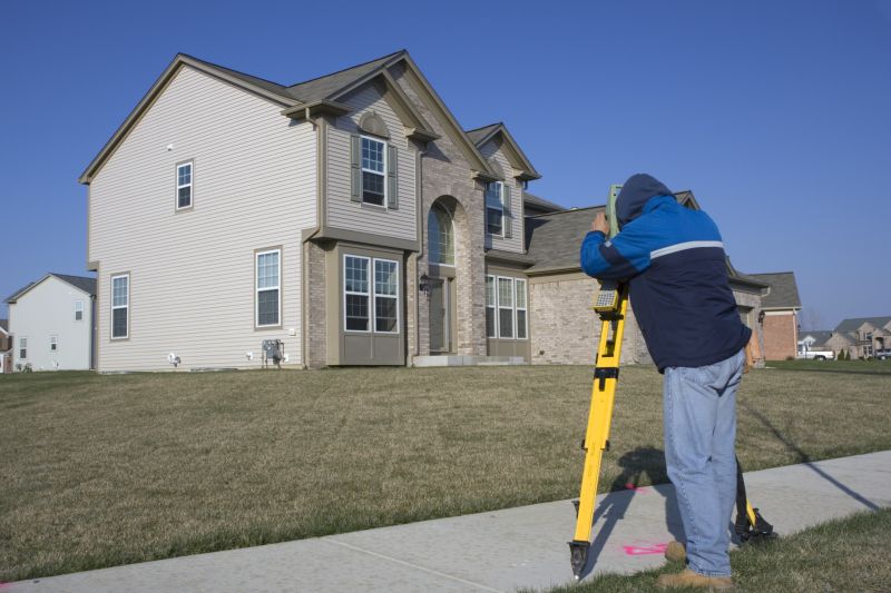
Surveyors utilize specialized equipment to map terrain features and property boundaries accurately.

Survey results are documented in detailed maps and reports, essential for legal and development purposes.
The process of land surveying typically involves several steps, starting with research and boundary analysis, followed by field measurements, data collection, and finally, drafting detailed maps. Professional surveyors often spend several hours to days completing a survey, depending on the size and complexity of the property. Accurate surveying reduces risks associated with property disputes and ensures compliance with local regulations.
Initial planning involves understanding property boundaries, legal descriptions, and topographical features.
Surveyors gather measurements using high-precision instruments, recording data for analysis.
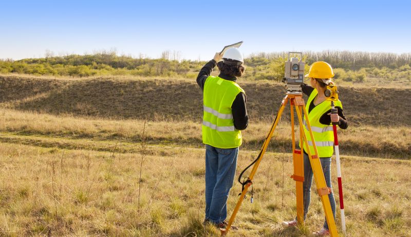
Collected data is processed to create detailed maps, highlighting property lines and features.
Comprehensive reports and maps are prepared for legal, development, or planning purposes.
Hiring a professional land surveyor ensures accuracy and legal compliance. Professionals are trained to handle complex measurements and interpret data correctly. Their expertise minimizes errors that could lead to costly disputes or development delays. Engaging a qualified surveyor is a prudent step in any property transaction or construction project.
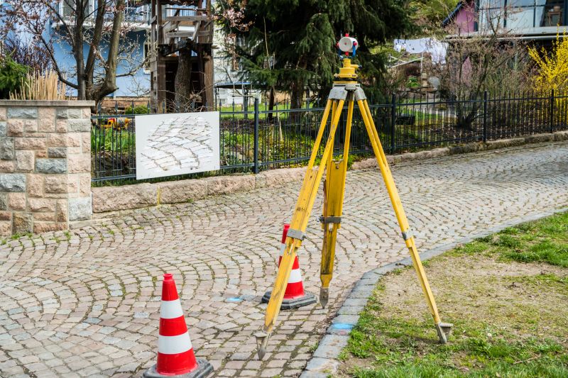
Surveyors install markers to delineate property boundaries based on accurate measurements.

Mapping terrain features helps in planning construction and land development.
Final boundary verification ensures clarity and legal standing for property ownership.
Land surveying plays a vital role in property development, legal documentation, and construction planning. The detailed data collected during surveys assists architects, engineers, and developers in making informed decisions. Properly conducted surveys can prevent future legal issues and facilitate smooth project execution.
Professional surveyors utilize sophisticated tools for precise land measurement.
Clear boundary lines are established through detailed survey mapping.

Surveys ensure that construction aligns with property boundaries and design specifications.
Accurate land surveys are essential for ensuring legal clarity and supporting development projects. Whether for buying, selling, or building, professional surveying provides the reliable data needed to proceed confidently. Engaging experienced surveyors reduces risks and enhances project efficiency.
Interested in obtaining a detailed land survey for your property? Filling out the contact form can help facilitate a comprehensive quote tailored to specific project needs. Accurate surveying services are a valuable investment in property management and development.